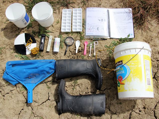
Tags
art, ecology, erosion, farm, history, livestock, photography, planning, revegetation, seasons, soil, southwestern Fleurieu, summer, trees, water, waterways, winter
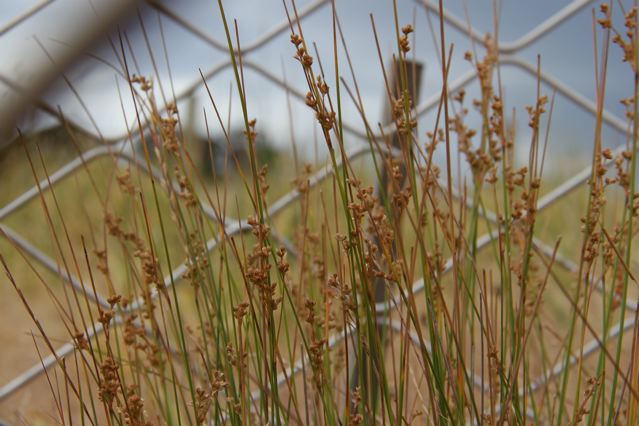
It’s been a dry year on the Fleurieu Peninsula. After the inundation of 2013, 2014’s rainfall came in almost 200mm shy of the year before, and about 100mm short of the average. By February 2015, the dam had receded to a few centimetres of sludge, and the water carter had come to top up the stock water tanks. While there’s no doubt that the Fleurieu Peninsula has had the Mediterranean pattern of dry summers and cool, wet winters for some time, recently I’ve begun to wonder whether this pattern has shifted towards greater aridity as successive land-uses have cleared the landscape.

Curruckalinga, looking over St. Vincent’s Gulf, 1846, George French Angas, depicting a mosaic of woodland and open grassland. From the description: “This view is taken from the rocky hills near Mr Kemmis’s Station, to the northward of Rapid Bay … The undulating appearance of the country here represented, together with the singular manner in which the trees are dotted about in all directions over the landscape … principally ‘casuarinae’ or she-oak, with ‘eucalyptus’.” From the collection of the State Library of South Australia, B15276/33.
At the time of European colonisation, the Fleurieu Peninsula was most likely covered with a mosaic of woodland, forest and grasslands, maintained through Aboriginal burning and land management practices. In his paper on the discovery and settlement of the Fleurieu (1986), Rob Linn draws from the diaries of settlers in his descriptions of the landscape of the South Western Fleurieu. Writing in 1838, William Giles described the landscape around Rapid Bay, as “a most beautiful valley, the soil of great depth covered with most luxuriant herbage … on the sides of these hills we found plenty of keep for sheep, and wherever the grass had been burnt in these places it was looking beautifully verdant … fine land, excellent water, plenty of timber …” This was echoed by John Stephens in 1839, describing the “country from Cape Jervis upwards” as “very picturesque” and “well-timbered” (Linn 1986). Continue reading